The African Continent
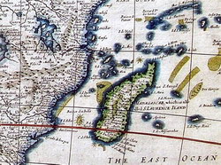
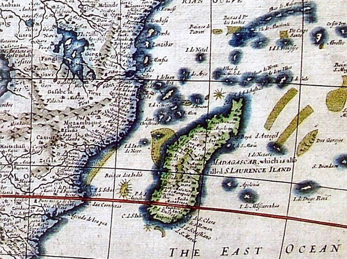
Print of Madagascar detail photographed from the collection of The Royal Museum for Central Africa, Belgium
|
|
|
Unknown (1676).
|
|
Photographic Reproduction
|
Text from Information Sign
|
|
The following text is from the information notice displayed alongside the original of this map in the collection of The Royal Museum for Central Africa
LE CONTINENT AFRICAIN SELON LE CARTOGRAPHE ANGLAIS JOHN SPEED, 1676
La carte que Speed (1552-1629) publia dans son atlas intitulé "The Prospect of the World" connut plusieurs éditions à partir de 1627. Elle est la première carte du continent africain réalisée par un auteur anglais. Nous nous trouvons ici à nouveau devant le schéma hydrographique traditionnel qui remonte à Ptolémée: Le Nil prend sa source dans deux grands lacs, le lac Zaïre-Zembre – d'où jaillit aussi le fleuve Zaïre – et le lac Zaflan. Les desseins commerciaux du cartographe apparaissent clairement dans l'illustration: personnages hauts en couleur, villes, navires de mer, animaux de toute sorte, monstres marins et autres créatures fantaisistes.
|
Text from Information Sign (English Translation)
|
THE AFRICAN CONTINENT ACCORDING TO THE ENGLISH CARTOGRAPHER JOHN SPEED, 1676
The map that Speed (1552-1629) published in his atlas entitled "The Prospect of the World" went through several editions since 1627. It was the first map of the African continent created by an English author. Once again we see a traditional hydrographical diagram which dates back to Ptolemy: Two large lakes form the source of the Nile, the Lake Zaire-Zembre – from where the Zaire River also spouts – and the Lake Zaflan. The commercial intentions of the cartographer appear clearly in the illustration: colourful characters, cities, ocean-going ships, all kinds of animals, sea monsters and other fantastic creatures.
|
Condition of Item
|
|
Very Good.
Refer to the glossary for definitions of terms used to describe the condition of items.
|