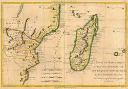
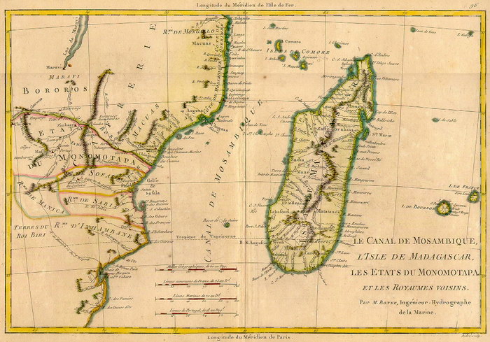
Le Canal de Mosambique, L'Isle de Madagascar, les états du Monomotapa
et les Royaumes voisins
|
[The Mozambique Channel, the Isle of Madagascar, the States of Monomotapa and the neighbouring Kingdoms]
|
Unpublished reproduction (2006). (First Published 1780)
|
|
Single Sheet
A colour reproduction of a map of Madagascar and Monomotapa [Zimbabwe] by Charles-Marie Rigobert Bonne (1727-1794), Royal Hydrographer of France. This map originally appeared in Atlas Geographique... à L'Histoire.
|
Notes
|
- This reproduction is roughly 82% of the size of the original, which measures 340mm x 230mm on a sheet 422mm x 281mm. The scale of the original is approximately 1:9,600,000.
- Replicated from a map in the collection of the University of Florida Library.
|
Condition of Item
|
|
Fine.
Refer to the glossary for definitions of terms used to describe the condition of items.
|
Categories
|
|
|